STAGE TRAILS & LONG-DISTANCE TRAILS
Spending several days on foot and getting to know the region in this way is becoming increasingly popular, regardless of whether you are travelling across Eastern Styria on different stages or setting off on a journey to neighbouring countries.
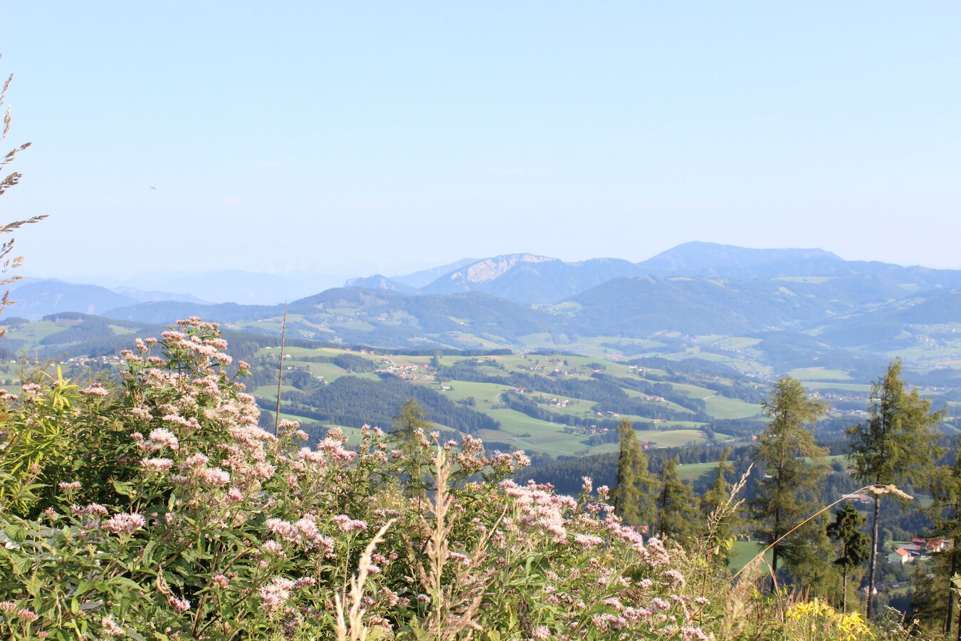
The "Alpannonia", for example, is a cross-border long-distance hiking trail that connects the natural areas of the Eastern Alps with the Pannonian Plain. The 124 km long high-altitude and panoramic trail begins in Eastern Styria, covering a total ascent of around 3,800 meters and a descent of 4,500 meters, starting in the village of Fischbach and leading over six or seven day stages to Koszeg in Hungary.
Important tourist locations are integrated into this network of trails via feeder routes and always lead back to the main route, which runs as follows: Fischbach - Teufelstein - Alpl - Pretul - Stuhleck - Pfaffensattel - Feistritzsattel - Hochwechsel - Mönichkirchen - Hochneukirchen - Redlschlag - Bernstein - Goberling - Unterkohlstatten - Geschriebenstein - Koszeg. Alpannonia - a long-distance hiking trail that combines the beauty of the Alps and the Pannonian lowlands.
You can find more information about the tours, stopovers, offers along the route, as well as views and vistas on the Alpannonia website.


An eventful history and a flourishing present
HISTORICAL LONG-DISTANCE HIKING TRAIL WECHSELLAND
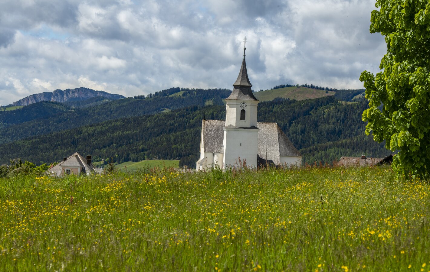
Discover the Wechselland Historical Long-Distance Hiking Trail (HWW), a network of existing hiking trails peppered with numerous informative information boards. Roam through the communities of St. Lorenzen am Wechsel, Dechantskirchen, Friedberg, Pinggau, Schäffern, Lafnitz, Rohrbach an der Lafnitz, Mönichkirchen, Aspangberg-St.Peter, Aspang-Markt and Zöbern on your hike and immerse yourself in the fascinating history of Wechselland at over 100 HWW stations.
The Historical Association Wechselland also offers guided tours of historic buildings in the Wechselland region, allowing you to wander even further into the past.
Tip: All HWW stations are also listed on the Wechselland hiking map.


Hiking in the Almenland Nature Park
THE 6 ETAPS
STAGE 1:
The "King's Tour" up to the Schöckl summit with magnificent views over the Passail basin, Graz and into the Murtal valley.
Start: Arzberg | End: Neudorf b. Passail | 15.5 km | 6.00 h
SAM station: WZ3316 Neudorf near Passail - Jägerwirt
STAGE 2:
From the Schöckl via the Rechberg to the Nechnitz plateau, which lies exactly between the Rote Wand and the Schöckl.
Start: Neudorf b. Passail | End: Nechnitz | 16.8 km | 5.00 h
SAM station: WZ3414 Nechnitz - GH Frankenhof or SAM station: WZ3413 Nechnitz - GH Haider-Harrer
STAGE 3:
Via the wooden sculpture trail up to the Teichalm & Sommeralm. The highlight is the Osser with a magnificent view.
Start: Nechnitz | End: Sommeralm | 11.2 km | 4.30 h
SAM station: WZ3228 Sommeralm - Holzmeister
STAGE 4:
From the beautiful Sommeralm with the Plankogel over the Brandlucken and on to the flower village of St. Kathrein/Offenegg.
Start: Sommeralm | End: St. Kathrein/O. | 16.5 km | 5.30 h
SAM station: WZ3207 Dorf - Ort
STAGE 5:
From St. Kathrein/O. out onto the Patscha saddle and via the Jägersteig trail in the Weizklamm gorge to the Kreuzwirt inn.
Start: St. Kathrein/O. | End: GH Kreuzwirt| 17 km | 6.00 h
SAM station: WZ3348 Weizklamm - Kreuzwirt or bus stop "Weizklamm Kreuzwirt", bus no. 205 or 206
STAGE 6:
From the Kreuzwirt via Passail and the Große Raabklamm gorge with its fantastic flora and fauna to the mining village of Arzberg.
Start: GH Kreuzwirt | End: Arzberg | 12.3 km | 4.30 h
SAM station: WZ3300 Arzberg - Arzberg village square