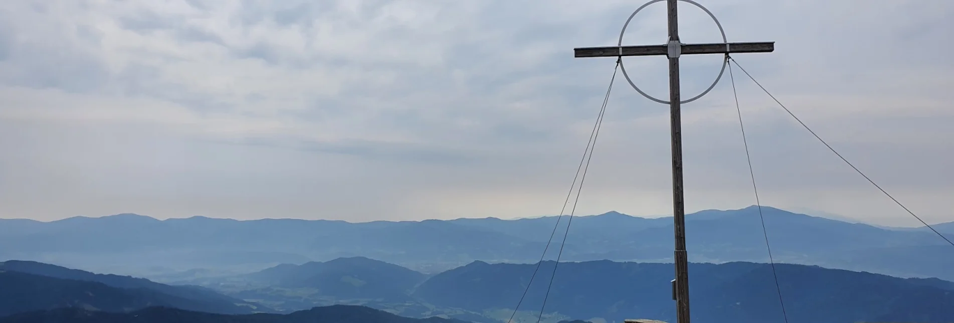

Großer Ringkogel from Gaalreiter
In the heart of the Seckau Alps in the Murtal adventure region, this panoramic hike leads to the striking two-thousand-meter peak of the large Ringkogel.
Highlight: summit cross
Characteristics
Best season
The tour in numbers
Map & downloads
More information
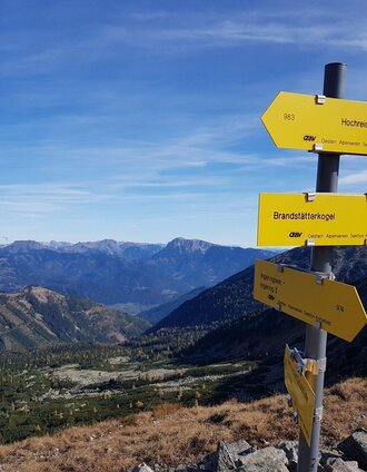
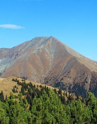
The first three kilometers we walk through the forest, but with every meter of altitude gained, the forest thins out and after a little more than 700 meters we stand at the 1,956 meter high Repenstein, from where a flat path leads to the Kleiner Ringkogel (2110m) and a steeper one to the Großer Ringkogel (2277m). From the Steinpyramiede you have a very good all-round view. We have already passed the tree line and hike along a well-trodden path over a broad ridge towards the Kleiner Ringkogel. This is reached from the Repenstein in less than half an hour and there are impressive views towards Hochreichart, the Brandstätterkogel, the Maierangerskogel and the Seckauer Zinkens. The ridge now turns to the left and later becomes somewhat steeper. We cover a good 150 meters in altitude from the Kleiner Ringkogel to the Großer Ringkogel and, after three hours of walking and the obligatory summit cross hug, enjoy the wonderful panorama. The Geierhaupt and the Gesäuse can be seen to the north, while the Seetal Alps and the Größing can be seen to the south. On this day, however, we take the ascent route back towards the starting point.
Region Murtal - Hiking map 1 & 2 - Tour 18a
The hiking maps 1,2&3 - you can get for free at the tourism association Murtal - info@murtal.at - Tel.: +43 3577 26600
You can also find more information about the region on - www.murtal.at
You can also find this tour on the following hiking map:Region Murtal - Hiking map 1 & 3 - Tour 18a
The hiking maps 1,2&3 - you can get for free at the tourism association Murtal - info@murtal.at - Tel.: +43 3577 26600
You can also find more information about the region on - www.murtal.at


