
Hauereckschutzhütte – Hauereck Runde von Krieglach
Closed
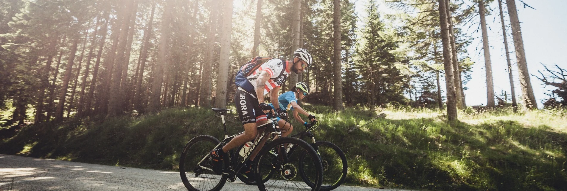
Moderately difficult mountain bike tour. Good basic condition required. Advanced riding technique necessary. The starting point of the tour can be reached by public transport. This tour leads from the center of Langenwang in the direction of Langenwanger Schwöbing. From here it goes steadily uphill along the 10 km long Traibachgraben and on to the Hauereck to the Hauereck hut.
We drive from the center of Langenwang in the direction of Krieglach and turn halfway left into the Langenwanger Schwöbing. Here we follow the marker number 6 and ride the approx. 10 km long Traibachgraben uphill to the Hauereck.
Characteristics
Best season
January
February
March
April
May
June
July
August
September
October
November
December
The tour in numbers
medium
Level of difficulty
14,7 km
Route
3:10 h
Time
840 hm
Uphill
20 hm
Downhill
1275 m
Highest point
Map & downloads
More information
S6 Semmering expressway - Langenwang exit
We start our tour in the center of Langenwang and cycle on the Grazer Straße in the direction of Krieglach. At the Schwöbing junction on the B 306b we continue cycling into the Langenwanger Schwöbing towards Alpl. At a sharp right turn we turn left into the Traibachgraben. This path leads us in a slight ascent along the ditch. The last 3 km up to the Hauereck are somewhat steeper and more impassable.
Contains a section where cycling is prohibited.
Here you will have to dismount and push.
A small 'detour' to the Almbauer is worth it! At the highest mountain farm in the Mürztal there is a snack station in the middle of the picturesque landscape of the Waldheimat!
By train to the station Langenwang
ÖBB www.oebb.at or Verbundlinie Steiermark www.busbahnbim.at
With the BusBahnBim app of Verbundlinie, timetable information has never been easier: all connections by bus, train and streetcar in Austria can be queried by entering locations and / or addresses, stops or important points. The app is available as a free app for smartphones (Android, iOS) - on Google Play and in the App Store.
Gratis Parkplätze im Bereich der Festwiese, der Hochschlossstraße, der Friedhofsstraße und der Bahnhofstraße.
Tip: the Styria Tours App , which is available for free on Google Play and in the App Store (Android, iOS) offers detailed first-hand information: short facts (length, duration, difficulty, ascent and descent in altitude meters, ratings), map, route descriptions, altimeter, compass, summit finder, navigation along the tour. In addition, you can create your personal favorites list of favorite tours and points, save tours and destinations offline, play on social media channels and more. Recreational trails in and around Langenwang.


