
Schneealm – Rax Crossing in the Mürzer Oberland Nature Park
Characteristics
Best season
The tour in numbers
Map & downloads
More information
The hike starts from Altenberg an der Rax, following a short asphalt section of the Klimawandelweg until reaching the Lurgbauer farm. From there, we continue on a forest road, passing a parking area (about 15-20 minutes walk from Altenberg) and then ascend straight up towards Almgraben.
After a while, we cross an (usually dry) streambed, marking the beginning of the real ascent to Schneealm. We follow the clearly visible trail, passing a rock with a memorial plaque for two mountain rescuers who tragically died here, until we reach the junction in Almgraben.
We turn left, and soon encounter a steep section (ladder or narrow trail). We ascend this and, in the upper Blarergraben, pass through larch corridors towards the Schneealm high plateau.
Before reaching it, we can avoid the unpleasant, washed-out section of the trail in the upper Blarergraben by veering left, crossing Kapeller Boden — this offers a better route.
At Schneealmhaus, after a 3-hour ascent, we can take a well-deserved rest. From here, we continue across the high plateau (which can be difficult to navigate in fog) towards Windberg, the highest point of Schneealm (1,903 meters above sea level, a wonderful panoramic viewpoint, about 30 minutes walk from Schneealmhaus). Before reaching it, we pass the welcoming Michlbauerhütte, where we can enjoy the sunny garden with stunning views of the surrounding mountains.
From Windberg, we descend eastward to the alpine meadows (Schneealm is the largest contiguous alpine pasture in the northern Calcareous Alps) and follow the Almstraße down to the Lurgbauerhütte (around 1 hour walk from Windberg). This hut not only houses a bio alpine dairy farm but may also offer accommodation. It's a perfect place for a snack.
From Lurgbauerhütte, we continue along the Amaisbühel, which initially descends gently but then steepens (short rocky section, surefootedness recommended). The trail follows the NÖ-Steiermark state border down to Nasskamm. If the weather turns bad, there's an easier descent to Altenberg.
However, we continue uphill in a southern direction to the unmanaged Gamseckerhütte (private). From here, the trail steepens again, bringing us to the upper Nasskamm (signpost, 10 minutes uphill to the fascinating and scenic summit of Hoher Gupf).
We now follow the marked trail towards "Zahmes Gamseck". It's important not to take the unmarked trail heading left upwards to "Wilden Gamseck", as this is an unprotected climbing route (difficulty level II).
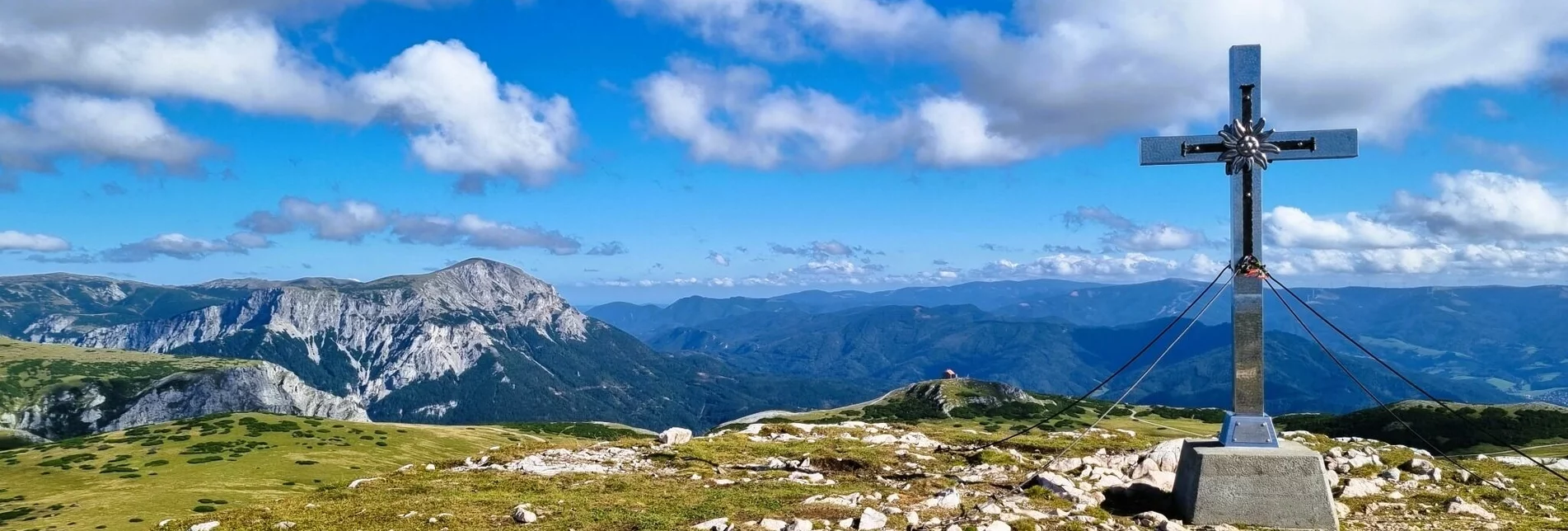
The secured trail over "Zahmes Gamseck" starts at a scree field and leads along several steel cables and over three short ladders in about 2.5 hours, ascending from Nasskamm to the high plateau of Rax, near the Gamseck summit (1,836 meters above sea level, small summit cross).
Now, the easier part of the trail begins as we walk across the expansive alpine meadow to Heukuppe, the highest point of the Mürzer Oberland Nature Park and our hike (2,007 meters). In foggy conditions, this section can be a bit difficult for orientation!
From Heukuppe, we descend eastward to the soon visible Karl-Ludwig-Haus (alpine base, accommodation available). After a stop here, we have the option of descending via the secured Gretchensteig, the also secured Reisstalersteig (historically significant, as the first mountain rescue in the world was founded here in 1896 after an avalanche tragedy), or the easy Schlangenweg back towards the valley.
If we take the Schlangenweg, we must continue from the Siebenbrunnerwiese with the Waxriegelhaus over the Kontrussteig to the Reisstalerhütte. From both Gretchensteig and Reisstalersteig, we reach the unmanaged Reisstalerhütte directly, continuing the descent to the Alm Gasthaus Moassa (clearly signposted).
From Alm Gasthaus Moassa, the last part of the hike takes us via Kerngraben back to Altenberg an der Rax, where we can conclude our tour at the Altenbergerhof (accommodation available).
(https://www.muerzeroberland.at/ausflugsziele-naturpark/ausflugsziele-im-naturpark/bergwerksmuseum-montanarum/)


