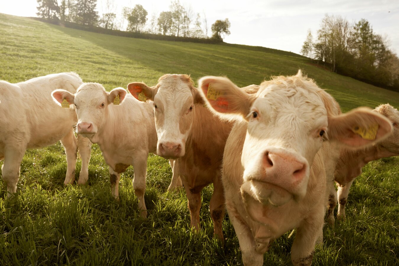
OUR Alpine PASTURES & PEAKS
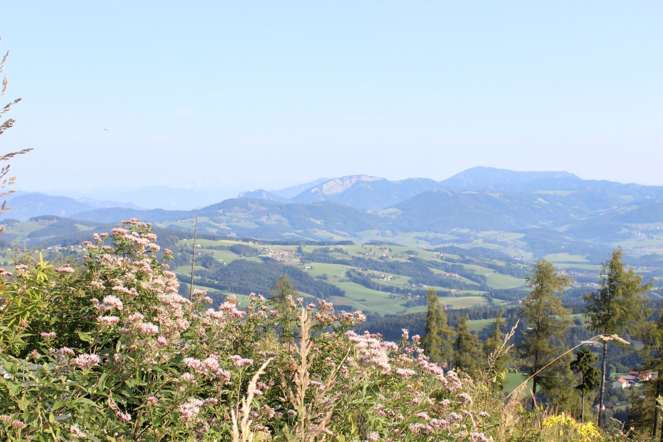
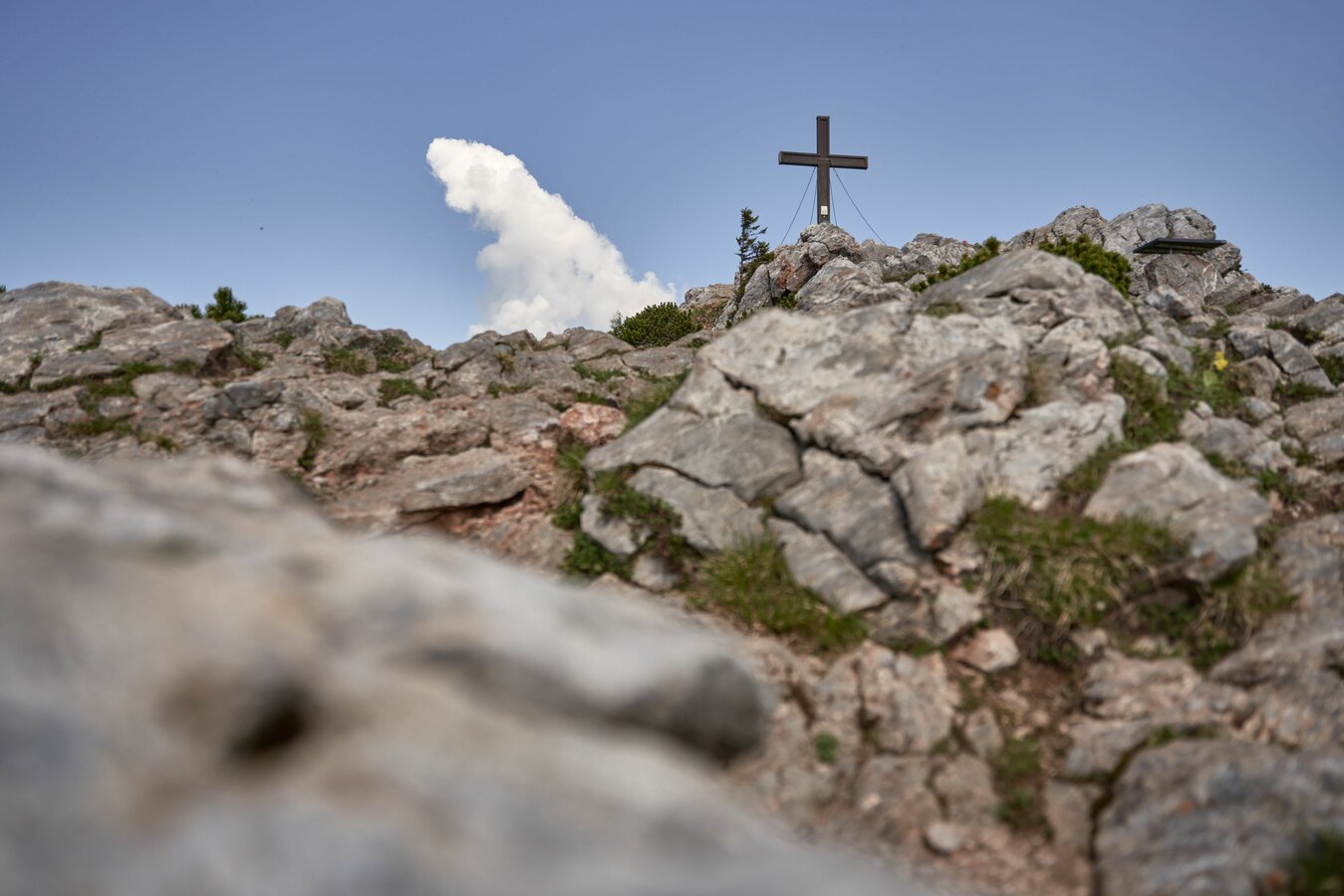
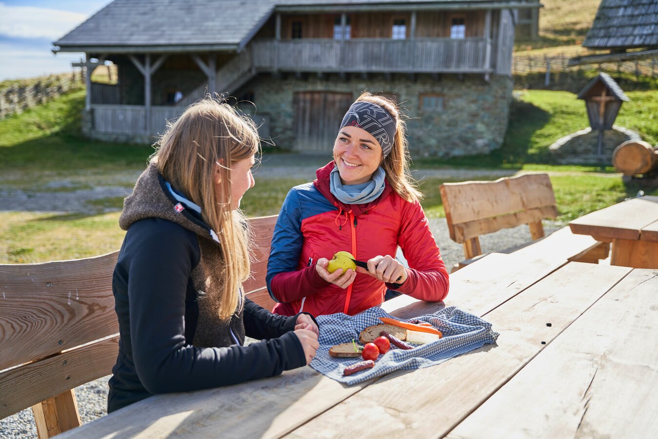
Across the alpine pasture up to the summit cross, the view here has a very special charm. A short break to discover and marvel, and a good snack to pamper your palate.
The landscape character of the Grazer Bergland is largely a gently shaped low mountain range with occasional high mountain forms, such as in the area of the highest peak, the Hochlantsch (1,720 m). The Almenland Nature Park is part of this natural area and presents a variety of hiking opportunities, from leisurely alpine paths to attractive mountain hikes. The region around Weiz offers the last foothills of this mountainous region, with several tours to the beautiful peaks in Eastern Styria starting here too.
Eastern Styria is a real hiking paradise where you can discover places with views, refreshments and uniqueness. See for yourself and find out more at our local offices.
Rajchl travels in Eastern Styria
HIKING IN AUSTRIA'S GARDEN
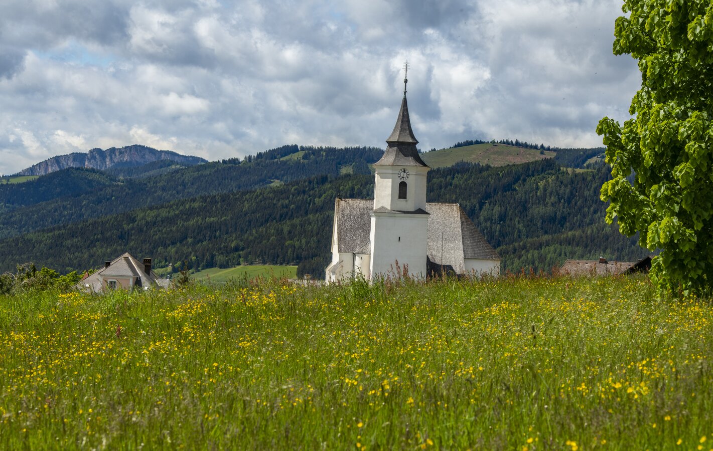
Hiking in Eastern Styria is versatile. From alpine hikes to summits, forests and hilly landscapes - the garden of Austria has it all. Exercise is good for body and soul, as are regional delicacies. A stop at one of the region's mountain huts, inns and wine taverns is a must after a hike. Get a foretaste here and then head out into the wonderful great outdoors.
COZY ON THE ALM & IBEX FEELING ON THE MOUNTAIN
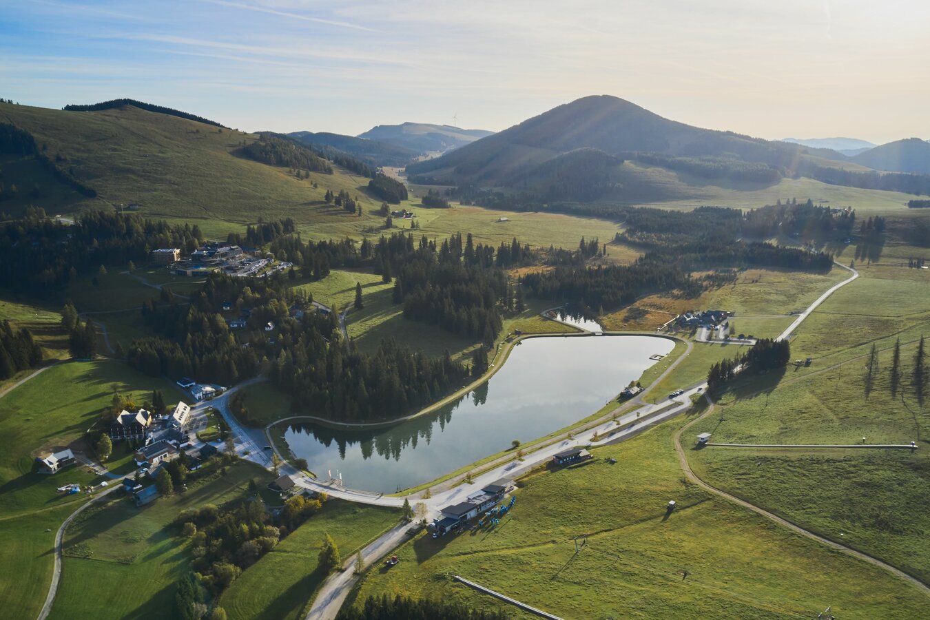
Our alpine pastures, peaks, forests, meadows, hills, orchards, towns and villages invite you to enjoy challenging mountain tours, panoramic alpine hikes and leisurely forest and town walks. The scenic attractiveness of the region combined with East Styrian hospitality and the special features along the trails make these hikes an experience. All under the motto "HIKING WITH A VIEW & IN"!
Eastern Styria is so diverse!
That's why our more than 100 tour suggestions have been divided into three different landscape categories:
BAND 1: Our alpine pastures & peaks in the Almenland & Weiz Nature Park
BAND 2: Our peaks & forests in the Joglland-Waldheimt region & Wechselland herb region
BAND 3: Our forests & hills in ApfelLand-Stubenbergsee, Gleisdorf, Hartbergerland, Pöllauer Tal Nature Park, St. Ruprecht an der Raab & Weiz
All three hiking brochures with tour suggestions can be ordered to your home free of charge.


_bearbeitet_mittel.jpg | © Oststeiermark Tourismus | Rene Strasser | © Oststeiermark Tourismus")


 Fani | © Oststeiermark Tourismus | Lara Fani | © Oststeiermark Tourismus")


Hiking in the Almenland Nature Park
THE 6 ETAPS
STAGE 1:
The "King's Tour" up to the Schöckl summit with magnificent views over the Passail basin, Graz and into the Murtal valley.
Start: Arzberg | End: Neudorf b. Passail | 15.5 km | 6.00 h
SAM station: WZ3316 Neudorf near Passail - Jägerwirt
STAGE 2:
From the Schöckl via the Rechberg to the Nechnitz plateau, which lies exactly between the Rote Wand and the Schöckl.
Start: Neudorf b. Passail | End: Nechnitz | 16.8 km | 5.00 h
SAM station: WZ3414 Nechnitz - GH Frankenhof or SAM station: WZ3413 Nechnitz - GH Haider-Harrer
STAGE 3:
Via the wooden sculpture trail up to the Teichalm & Sommeralm. The highlight is the Osser with a magnificent view.
Start: Nechnitz | End: Sommeralm | 11.2 km | 4.30 h
SAM station: WZ3228 Sommeralm - Holzmeister
STAGE 4:
From the beautiful Sommeralm with the Plankogel over the Brandlucken and on to the flower village of St. Kathrein/Offenegg.
Start: Sommeralm | End: St. Kathrein/O. | 16.5 km | 5.30 h
SAM station: WZ3207 Dorf - Ort
STAGE 5:
From St. Kathrein/O. out onto the Patscha saddle and via the Jägersteig trail in the Weizklamm gorge to the Kreuzwirt inn.
Start: St. Kathrein/O. | End: GH Kreuzwirt| 17 km | 6.00 h
SAM station: WZ3348 Weizklamm - Kreuzwirt or bus stop "Weizklamm Kreuzwirt", bus no. 205 or 206
STAGE 6:
From the Kreuzwirt via Passail and the Große Raabklamm gorge with its fantastic flora and fauna to the mining village of Arzberg.
Start: GH Kreuzwirt | End: Arzberg | 12.3 km | 4.30 h
SAM station: WZ3300 Ar