Hochtrötsch circular trail
The trail up the Hochtrötsch - also known as the Trötsch - offers magnificent panoramic views over Semriach, the Schöckl and Almenland regions as far as West and Hochsteiermark - an insider tip in the Graz mountains.
There is a somewhat easier, shorter tour, as well as a more challenging variant with a "summit victory". Both lead to the Friedenskreuz at Niedertrötsch and on to the Rüster Sattel. Here you can opt for the steep but rewarding Hochtrötsch - a little surprise awaits thirsty hikers before they reach the summit cross. The way back leads down to the Winterbauerweg and then along well-maintained forest paths and side roads back to the highly recommended Trötschwirt.
This hiking trail was created as part of the new walking and hiking trail concept, with the design of the Semriach Tourist Board and under the patronage of various Semriach clubs, and is also maintained by these clubs.
Characteristics
Best season
January
February
March
April
May
June
July
August
September
October
November
December
The tour in numbers
medium
Level of difficulty
9,0 km
Route
4:00 h
Time
400 hm
Uphill
400 hm
Downhill
1236 m
Highest point
Map & downloads
More information
Mit dem Auto nach Semriach Anfahrtsplaner, Im Ort links Richtung Freibad Semriach danach ca.3 km bis zum Gasthaus Trötschwirt
The start is at Gh. Parz (Trötschwirt, Holleggstraße 13). After a short stretch (approx. 200m) in the direction of Rechberg, you soon branch off to the left to Trötsch. After approx. 45 minutes, you will reach Niedertrötsch through the forest and a pasture. Here you have an interesting view of the Schöckl, as well as Anger and Ulrichsbrunn. A short detour to the orchid meadow is also recommended (see information board on the hiking trail). The relatively flat path then leads directly to the peace cross on the Bojer-Alm. Continue along the flat forest and meadow path through pastures to the Rüsterkreuz cross and the Rüster saddle. From here, you have the option of taking the somewhat more challenging Hochtrötschsteig trail or walking directly along the family-friendly forest path to the Trötschweg trail. The Hochtrötschweg and the farm track coming from the Rüster saddle meet again at the Trötschweg. Pass the Burgstallerhof farm and return to Holleggstraße and the Trötschwirt.
An easy family hike without Hochtrötsch.The best publicly accessible variant leads from Frohnleiten station via Hochtrötsch down to Peggau station - a challenging day hike.
Regiobus 140 bis Semriach, www.verbundlinie.at
Weiterfahrt mit GUSTmobil möglich https://istmobil.at/istmobil-regionen/gustmobil/
Parken bzw.Parkmöglichkeit beim GH Trötschwirt erlaubt.
https://www.steiermark.com/en/Region-Graz/Region/Active-in-around-the-city/Hiking
www.regiongraz.at/wandern
Gallery
1/2

Unterwegs am Hochtrötsch | © Region Graz | Harry Schiffer
2/2

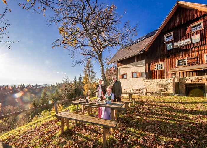
GH Trötschwirt | © Region Graz | Andrea Gottlieb
What the weather will be like
Semriach (715m)
Morning

5°C
5%
10 km/h
Noon
11°C
5%
15 km/h
Night

7°C
5%
15 km/h
Early clouds will clear to leave the region with a dry and sunny day.
Morning
4°C
0%
10 km/h
Noon

12°C
10%
10 km/h
Night

8°C
50%
5 km/h
At first sunny, but increasingly cloudy in the afternoon and possibly some rain towards evening.
29.03.2025

5°C
10°C
30.03.2025
5°C
11°C
31.03.2025
4°C
11°C