Hiking route Großofen circular hike - Touren-Impression #1 | © Community Hiking route Großofen circular hike - Touren-Impression #1 | © Community

Großofen circular hike

The Großofen gives this hike its name and is an adventure, especially for children. Most of the hike leads through a beautiful high forest. Attentive hikers will discover more rock formations.
This hike of just over 11 km takes us to one of the most beautiful viewpoints in the mountain village of Modriach, namely the large oven. Here we can climb up a wooden ladder into a small interior space.

Several easy wooden ladders lead us directly to the highest point of this rock formation. The view from the top rewards our ascent.

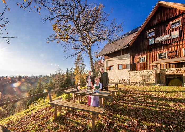
Children in particular discover many things here that amaze us. If the 11.4 km are too long for you, you can walk back the same way from the large oven and then have a round trip of approx. 6.5 km.


Characteristics

Skill
Fitness

Best season

January
February
March
April
November
December

The tour in numbers

medium
Level of difficulty
11,4 km
Route
4:00 h
Time
550 hm
Uphill
550 hm
Downhill
1473 m
Highest point

Map & downloads

More information

  • A2-Südautobahn, Abfahrt Modriach
  • Bei der Kreuzung mit der Modriach-Landesstraße biegen wir rechts Richtung Dorf Modriach ab.
  • Nach knapp 1,5km haben wir das Dorfzentrum von Modriach erreicht.
 
From the Modriach elementary school we walk for about 1/2 hour past many weekend houses, always uphill. Before the last farmhouse, we go straight on into the forest. After a short time, the path splits into no. 35 and 38. We take path 38, which leads us to the large oven. From here, there are 450 meters of altitude to overcome to the large oven, which is why the path always climbs. But even with a leisurely hike, the destination can be reached in a maximum of two hours.

The area around the Großofen could certainly be described as wild and romantic. The rock formation can be climbed via a narrow rock hole, which is an adventurous experience not only for children. There is also an oversized wooden telescope here, which allows you to enjoy the view even better. Trail 38 continues in an easterly direction and joins trail 35, which we continue towards Freiländeralm.

 
summit of the Großofen
 
Eine Anreise mit öffentlichen Verkehrsmitteln ist nicht möglich.
 
Es stehen ausreichend Parkplätze zur Verfügung.
 
Tourismusverband Region Graz

Messeplatz 1/Messeturm

8010 Graz

T +43 316 8075-0

info@regiongraz.at 

www.regiongraz.at 

Wanderatlas der Steirischen Rucksackdörfer
 

Gallery

Nearby accommodation options

Continue to search

You may also be interested in

Recommended tours

Accessible by public transport
Hebalmsee_Flora | Smac GmbH | © Smac GmbH
Bezirk Voitsberg easy
Route 4,2 km
Duration 1:30 h

Hebalm-Extras: Vom Dom des Waldes zum Hebalmsee

Pfarrkirche Modriach | Reinhold Waldhaus | © Verein zur Förderung der steirischen Jakobswege
Edelschrott medium
Route 17,0 km
Duration 5:45 h

Modriacher Höhenweg

Accessible by public transport
Rund um den Hirzmannstausee | Harry Schiffer | © Region Graz
Edelschrott medium Closed
Route 7,9 km
Duration 2:30 h

Around the Hirzmann reservoir

Accessible by public transport
Hebalm | Katrin Schwarz | © Community
Bezirk Voitsberg medium
Route 6,7 km
Duration 2:30 h

Winkelwanderung: Von Modriach-Winkel auf die Hebalm

Accessible by public transport
Knödelhütte im Sommer | TV Lipizzanerheimat/EU | © Region Graz
Hirschegg-Pack easy
Route 8,3 km
Duration 2:30 h

3-Almhüttenwanderung

Accessible by public transport
Reinischkogel_Gipfelkreuz.jpg | Irene Löschnig | © TVB Südsteiermark/Irene Löschnig
Bezirk Deutschlandsberg medium Open
Route 8,0 km
Duration 2:30 h

Absetzwirt-round over the Reinischkogel

Accessible by public transport
Schratlofen (1130m) | Brigitte Kügerl | © TVB Südsteiermark/Brigitte Kügerl Kügerl
Bezirk Deutschlandsberg easy
Route 7,7 km
Duration 2:19 h

Reinischwirt - Absetzwirt circular route