TV Region OberGraz-Mias PhotoArt | © Region Graz")
TV Region OberGraz-Mias PhotoArt | © Region Graz")
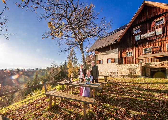
Circular hike to the Mühlbacher hut
Follow this steeply uphill to the Pleschhöfer farmstead. Here you are rewarded with a wonderful view of the Gleinalm. We continue hiking on trail 562 past the St. Georgs chapel and below the Heigger cross to the idyllic Mühlbacher hut. The refuge offers hikers a shelter including a vending machine for drinks outside of opening hours - so a little change won't hurt.
Strengthened and satisfied, you hike along trail 33 down to the source of the Mühlbach and then back to the starting point. On the path through the valley of the Mühlbachgraben is also the official MTB route, so caution is requested.
Characteristics
Best season
The tour in numbers
Map & downloads
More information
(Gratwein-Gratkorn train station) Continue with the regional bus line 110 to Rein.
For more information on train and bus connections, please visit www.verbundlinie.at and www.oebb.at.
Gallery
TV Region OberGraz-Mias PhotoArt | © Region Graz")
 TV Region OberGraz-Mias PhotoArt | © Region Graz")
 TV Region OberGraz-Mias PhotoArt | © Region Graz")
 TV Region OberGraz-Mias PhotoArt | © Region Graz")
 TV Region OberGraz - Mias PhotoArt | © Region Graz")
 TV Region OberGraz - Mias PhotoArt | © Region Graz")
What the weather will be like
Gratwein-Straßengel (390m)