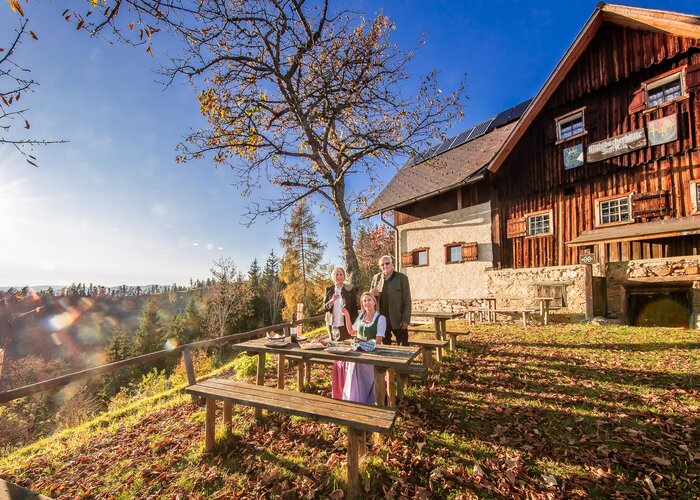
Theme path Eggersdorf planetary path - Touren-Impression #1 | © TV Eggersdorf-Weinitzen Theme path Eggersdorf planetary path - Touren-Impression #1 | © TV Eggersdorf-Weinitzen

Eggersdorf planetary path

The 6 km long Planet Trail begins in the middle of Eggersdorf near Graz. A worthwhile excursion destination for all generations and an educational trail that is guaranteed to broaden our horizons.
Step by step through the solar system: It is well known that the sun has a significant influence on our lives. Most of us know relatively little about the rest of the planetary system and the vast distances in our cosmic home. The 6 km long Planetary Trail is a worthwhile excursion destination for all generations and an educational trail that is guaranteed to broaden our horizons. Interesting guided tours are also offered regularly.
 

Characteristics

Skill
Fitness

Best season

January
February
March
November
December

The tour in numbers

6,2 km
Route
1:40 h
Time
107 hm
Uphill
107 hm
Downhill
501 m
Highest point

Map & downloads

More information

Von Graz-Mariatrost über die Mariatroster Straße und die Volkersdorferstraße nach Eggersdorf

Von Graz über die Riesstraße und die Gleisdorfer Straße in die Hauptstraße nach Eggersdorf

 
From the starting point, Cafe Rosenberger, follow the main road towards the village center and turn onto Hocheggstraße at the chapel. Then turn onto Stühlingereggstraße and follow the road into the forest until you come to a fork in the road. Here, take the left fork and follow the forest road past a few houses until you reach Stuhlsdorfer Bach. Turn sharp right here and follow the path through the forest until you reach Hütterweg. Once in Stuhlingeregg, follow the Römerstraße past the Zornkapelle chapel and turn left into the forest shortly before the end of the village and return to the starting point of the circular tour via Teichstraße, Stuhlsdorfer Straße and Feldstraße.
 

Einkehrmöglichkeiten entlang der Route:

  • Niederleitners Schöckllandhof
  • Cafe Konditorei Rosenberger
  • Zaunschirm-Wolf Hofladen
  • Bauernhof Voit
  • Buschenschank Kos
  • Bauernhof Schiffer
  • Biohof Schiffer
 

Verkehrsverbindungen 

Verkehrsverbindung Bus:

240 Graz Andritz - Niederschöckl – Faßlberg - Eggersdorf241 (Niederschöckl Schule) Weinitzen - Rinnegg - Kreuzberg 250 Graz - Faßlberg - St. Radegund - Stenzengreith - Plenzengreith 260 Faßlberg - Kumberg - Kainberg - Garrach

Ihre Servicestelle für eine umweltfreundliche Mobilität: Mit nur einem Anruf erhalten Sie Auskunft über Ihre gewünschte Fahrt (von der Steiermark bis ganz Europa), egal ob mit Bus oder Bahn.

Jakoministraße 1, 8010 Graz - Hotline: T+43/50678910 - Hotlinezeiten: Mo - Fr 07.00 - 19.00 Uhr, Sa 09.00 - 13.00 Uhr - Stadtbüro: Mo – Fr 08.00 - 18.00 Uhr, Sa 09.00 - 13.00 Uhr

GUST-Mobil: Ein Anruf-Sammeltaxi, mit dem Mobilität, abseits des Autos in Eggersdorf und Weinitzen möglich ist. 

 
Parken entlang der Hauptstraße möglich
 

Gallery

Nearby accommodation options

Continue to search

You may also be interested in

Recommended tours

filzkunstweg_cweges_14.jpg
Kainbach bei Graz
Route 2,3 km
Duration 1:00 h

Filzkunst Wanderweg

Station 18: Grüne Lunge | TV Region Graz und Tom Lamm | © Region Graz
Region Graz
Route 7,3 km
Duration 2:30 h

sebastian RELOADED® adventure trail

Energy revolution_sunny_Eastern Styria | Stadtgemeinde Gleisdorf | © Tourismusverband Oststeiermark
Gleisdorf Open
Route 2,5 km
Duration 2:00 h

Straße der EnergiewAEnde (Street of Energy Turn-Walls), Gleisdorf

Breitegger Church, St. Ruprecht an der Raab, Eastern Styria | Steininger  | © Oststeiermark Tourismus
Oststeiermark easy
Route 7,7 km
Duration 2:30 h

Breiteggerweg

Villenwanderweg Laßnitzhöhe (c) TV Region Graz - Harry Schiffer (2).jpg | Harry Schiffer Photodesign
Region Graz
Route 4,9 km
Duration 1:30 h

Villenwanderweg in Laßnitzhöhe

Core Chapel outdoor, Eastern Styria | (c) Steininger | © (c) Steininger
Oststeiermark easy
Route 8,4 km
Duration 2:30 h

Core chapel trail