R2 Ulrichsbrunn circular trail
A path for personal fitness, as well as a supposedly healing contribution to your own health thanks to the Ulrichsbrunn water. You walk from Semriach parish church up to the 950 m high Windhofkogel and back via Anger and Karl am Stein to Semriach.
Characteristics
Best season
January
February
March
April
May
June
July
August
September
October
November
December
The tour in numbers
easy
Level of difficulty
8,3 km
Route
2:40 h
Time
400 hm
Uphill
400 hm
Downhill
1000 m
Highest point
Map & downloads
More information
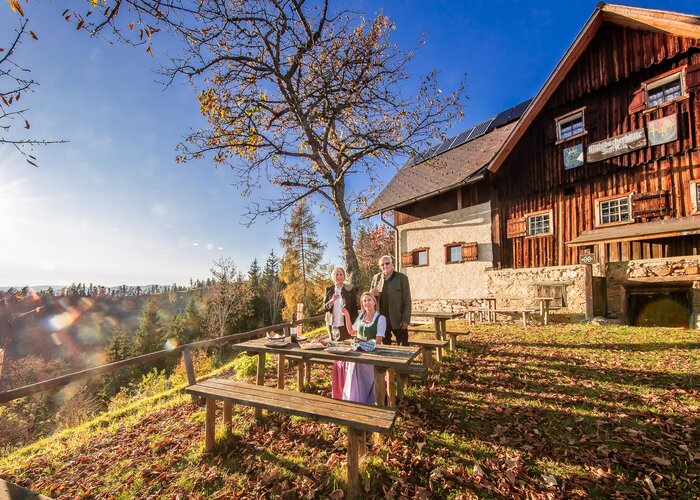
You start at the pilgrims' fountain of the late Gothic parish church and then walk downhill past the Raiffeisenbank to the right-hand Marktbach stream. Now uphill past the new secondary school and along a forest path you finally reach the panorama trail. You walk through the small hamlet there and along a farm track leading uphill to the edge of the forest. A bench set up here invites you to linger, because from here you have an excellent distant view of the West Styrian mountains, even as far as the Koralpe. The trail then continues along a forest path to Windhofstraße, from where the path leads up to the idyllically situated Ulrichsbrunn Chapel. The constantly flowing water there offers soothing refreshment and is also said to have healing properties. The Ulrichsbrunn Chapel, built in the 18th century, invites you to linger and enjoy a moment of reflection. The trail leads back over the Windhofkogel with panoramic views of the Almenland. You now descend to Windhofstraße and cross it. The route then leads through forest and meadow paths to the "Karl am Stein" farm. You should not miss out on a rest at the local bench and an invitation to taste the farm's own produce before continuing towards Semriach. In the forest, you come across the educational hiking trail and you can also follow the very informative information boards on the educational hiking trail. Once you come out of the forest again, you can enjoy a wonderful panoramic view of Semriach, where your hike began.
Gallery
1/6

r2 ulrichsbrunnrundweg_img_17544739 | © Region Graz
2/6

r2 ulrichsbrunnrundweg_img_19155121 | © Region Graz | Hirsch Florian
3/6

r2 ulrichsbrunnrundweg_img_19155122 | © Region Graz | Hirsch Florian
4/6

r2 ulrichsbrunnrundweg_img_19155123 | © Region Graz | Hirsch Florian
5/6

r2 ulrichsbrunnrundweg_img_19155124 | © Region Graz | Hirsch Florian
6/6

r2 ulrichsbrunnrundweg_img_19155125 | © Region Graz | Hirsch Florian
What the weather will be like
Semriach (715m)
Morning

12°C
5%
10 km/h
Noon

18°C
15%
5 km/h
Night

14°C
50%
5 km/h
Fairly sunny with scattered clouds. Showers will be possible towards evening.
Morning
11°C
10%
5 km/h
Noon
17°C
45%
5 km/h
Night
14°C
55%
0 km/h
Dry and partly sunny throughout the day, with cloudy periods from time to time.
24.04.2025
9°C
14°C
25.04.2025

9°C
15°C
26.04.2025
8°C
16°C