Municipal office Gaal
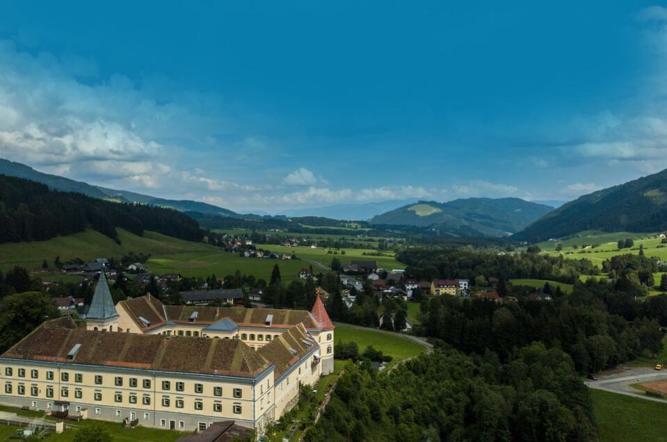
GaalThe municipal office of Gaal is located in the district of Bischoffeld.
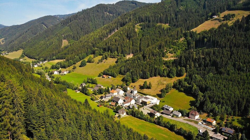
The municipality of Gaal is located about 14 km northwest of Knittelfeld in the Niedere Tauern. The municipality area, called Gaal, includes the mountain range of the Pletzen, the two valleys of the Gaalbach and the Ingeringbach surrounding it, as well as the southern slopes of the Seckauer Alps. The highest elevations are the 2.417 m high Geierhaupt, the 2.416 m high Hochreichhart, the 2.397 m high Seckauer Zinken (all Seckauer Alpen) and the 2.345 m high Pletzen. The lowest point is at around 750 m, where the Ingeringbach stream leaves the municipality in the southeast.
Opening hours:
Office hours:
- Monday from 07:00 a.m. to 12:30 p.m. and from 01:30 p.m. to 06:00 p.m.
- Tuesday and Thursday from 07:00 a.m. to 12:30 p.m. and from 01:30 p.m. to 05:00 p.m.
- Wednesday and Friday from 07:00 a.m. to 01:00 p.m.
Public access:
- Monday from 08:00 a.m. to 12:00 p.m. and from 02:00 p.m. to 05:00 p.m.
- Tuesday, Wednesday, Thursday, and Friday from 08:00 a.m. to 12:00 p.m.
16/12/2020 - 31/12/2030
Monday
07:00 - 12:30 o'clock
16/12/2020 - 31/12/2030
Monday
13:30 - 18:00 o'clock
13/12/2024 - 13/12/2030
Wednesday, Friday
07:00 - 13:00 o'clock
13/12/2024 - 13/12/2030
Tuesday, Thursday
13:30 - 17:00 o'clock


