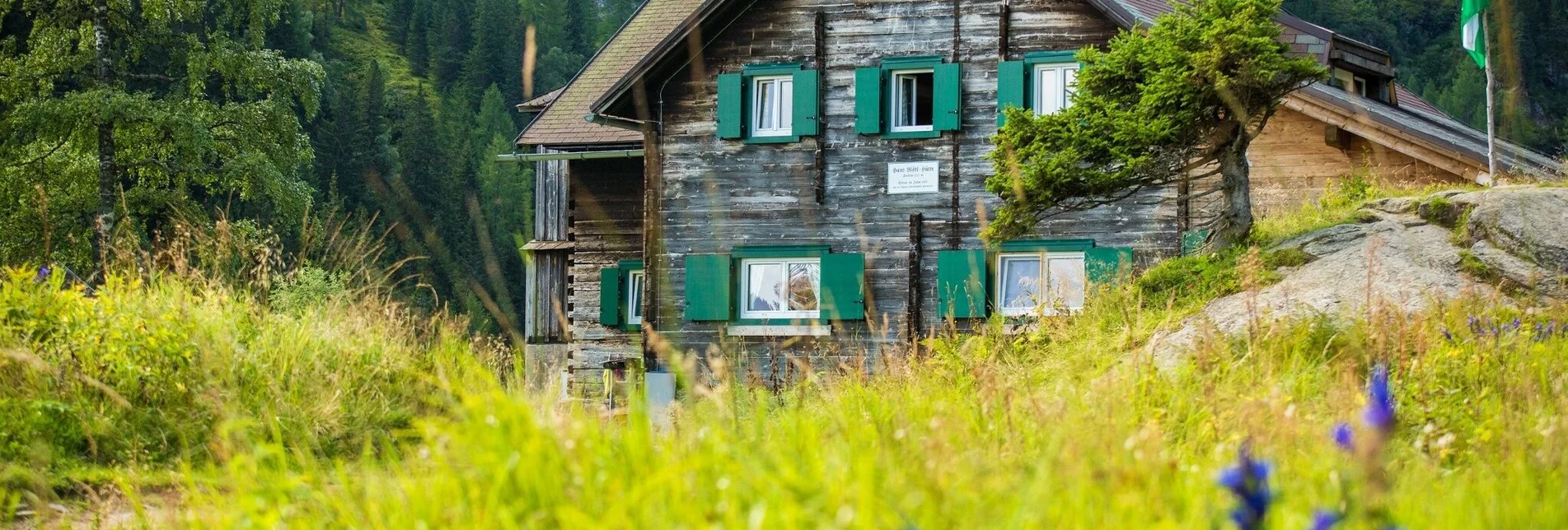

Hike to the Hans-Wödl-Hütte
A wonderful hike along the Styrian Bodensee with breathtaking views of the Hüttensee and the Hochwildstelle.
Alpine hike with summit victory on the Hauser Kaibling (2.015 m), worth seeing 360° panorama of the Ennstal, the Moaralmsee - one of the most beautiful mountain lakes in the Schladminger Tauern, wonderful view of the Pfannsee over the Filzscharte (2.213 m) and the always impressive excursion destination ... the Steirischer Bodensee. However, please note that you cannot do this tour with your four-legged friend, as dogs are not allowed in the Moaralmsee area up to the Gumpental. Thank you for your understanding!
Characteristics
Best season
January
February
March
April
May
June
July
August
September
October
November
December
The tour in numbers
medium
Level of difficulty
5,9 km
Route
2:50 h
Time
390 hm
Uphill
390 hm
Downhill
1533 m
Highest point
Map & downloads
More information
Ennstalbundesstraße (B320) - exit: Ruperting (near Haus im Ennstal) or Gössenberg - follow the respective toll road into the Seewigtal valley.
Via Ruperting near Haus im Ennstal or Aich/Gössenberg, we reach the parking lot in the Seewigtal valley via a toll road. We walk for about 15 minutes on a wide path along the stream to the Steirischer Bodensee. Once at the end of the lake, the trail continues via the ascent with the number 782, which leads over a waterfall to the Hans-Wödl-Hütte at the Hüttensee. The hut is about 1 hour's walk above the Steirischer Bodensee and is therefore an ideal destination for a day trip. After the hike, we can enjoy the view of the Hüttensee and the Hochwildstelle from the terrace and fortify ourselves with the farm's own delicacies of beef, pork and brook trout. The hut is also a great starting point for crossings and high alpine tours. The way back is via the same route and from the Steirischer Bodensee/Seewigtal parking lot you can take the 976 Steirischer Bodensee bus back through Weißenbach bei Haus to Haus im Ennstal or to Schladming.
"I like to be in the mountains and my heart is happy there. Where the alpine roses grow and the gentians bloom." This line of the song comes to mind if you undertake this hike, especially when the alpine roses are in bloom! A leisurely rowing boat tour on the Steirischer Bodensee is also recommended.
between the end of May and mid-October: Planaibus (line: Schladming - Haus - Steirischer Bodensee)
otherwise no arrival by public transport possible.
parking area Steirischer Bodensee/Seewigtal
Tour at your own risk! No liability is assumed for any given or occurring alpine dangers (weather, etc..). Schladming-Dachstein hiking map


