
The Fairytale Trail
A loop trail filled with lots of lovely ideas for the whole family. Discover the fairytale characters along the trail and get excited with various playground equipment.
The trail is made up of a wide forest and meadow trail with only slight ascent and descents, and it is suitable for pushchairs. Along the way there are several possibilities where you can stop for a drink or a small snack: Hotel Schwaigerhof, Tauernalm and Familienhotel Austria.
Highlights:
- various figures of fairytale characters
- playground equipment along the trail
- viewing platform
- picnic area
Characteristics
Best season
The tour in numbers
Map & downloads
More information
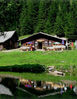
From the Hexenhäusl, the trail leads to Haus Strobl, from where you follow the Lans-Strobl trail to Rohrmoosstraße. Follow the road briefly downhill to Haus Primps. After another 200 metres, cross the road and walk back along the forest path and meadow (a ski slope in winter) to the valley station of the Hochwurzen summit lift. - There is a connection to the Schwammerlweg trail here. You can also stop for refreshments here: at the Tauernalm or at the Familienhotel Austria .
From the valley station, walk past the Familienhotel Austria and to the left of the Hotel Waldfrieden along the beautiful meadow path back towards the Hotel Schwaigerhof and the starting point.
Pick up your "picnic-rucksack" at the Sieder department stores' in the centre of Rohrmoos!
Alternatively, you can start at the valley station of the Hochwurzen summit lift.
With the Planai buses from Schladming (Planet-Planai, Lendplatz) or Rohrmoos (Rohrmoos-Zentrum) to Rohrmoos - bus stop "Schwaigerhof". Alternatively continue to the valley terminal of "Gipfelbahn Hochwurzen" cable car.
- Buses of Planai-Hochwurzen-Bahnen: www.planaibus.at
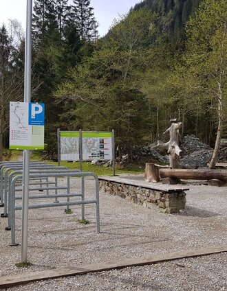
Parking is available at the turnoff of "Schwaigerweg" road. Please do not use the parking of the hotels nearby.
If no parking is available, use the alternative starting point at the valley terminal of Gipfelbahn Hochwurzen cable car - there is plenty of parking there.
Tourist information: www.schladming.com
Information about bus schedules: www.planaibus.at
360° drone images
Get yourself an overview with our 360° drone images:
View over the Western part of Rohrmoos: https://vonoben.schladming-dachstein.at/sommer/index.php?S=61
- Hiking map ‘Hiking WEST’ available at the information offices in the region.
- Schladming hiking map, 1:25,000, available at the Schladming information office.
- Hiking map Schladming-Dachstein, 1:50,000, available at the information offices in the region.
- Hiking guide Schladming-Dachstein by Herbert Raffalt, available at the information offices in the region.


